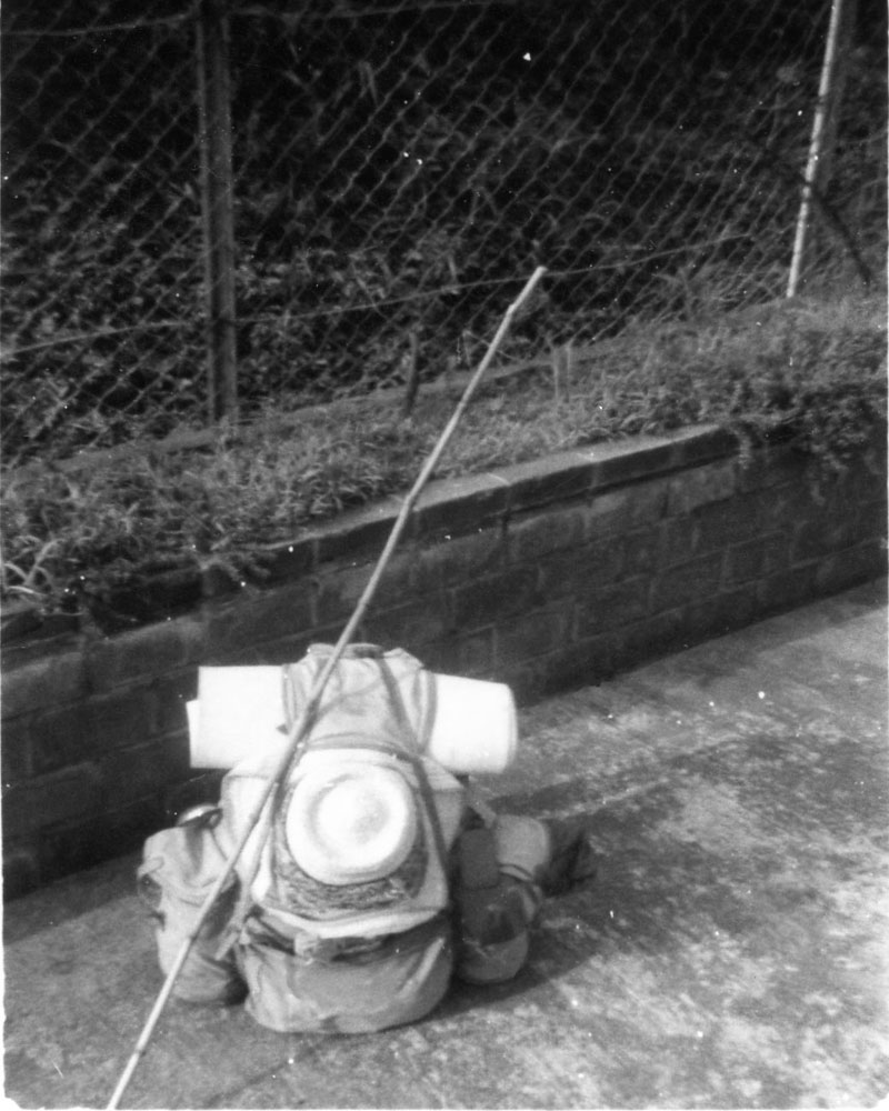
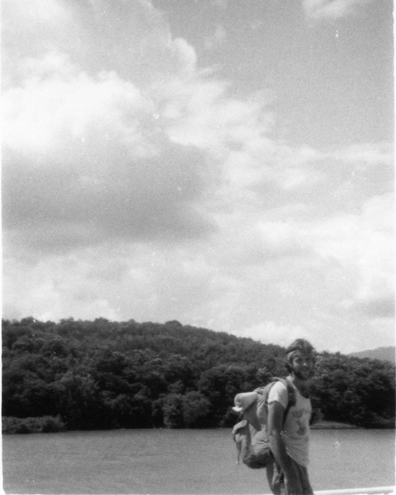
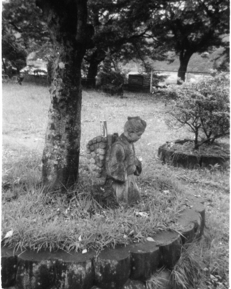
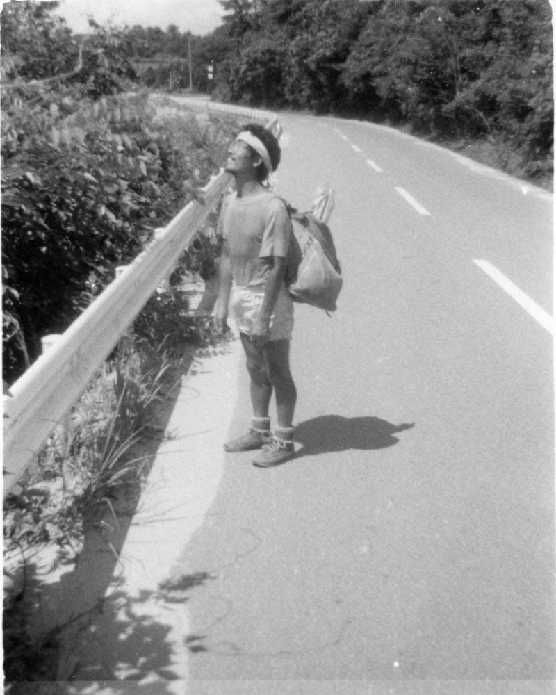
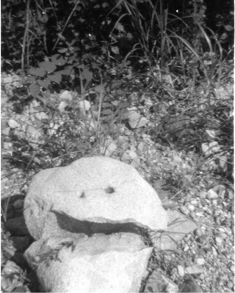
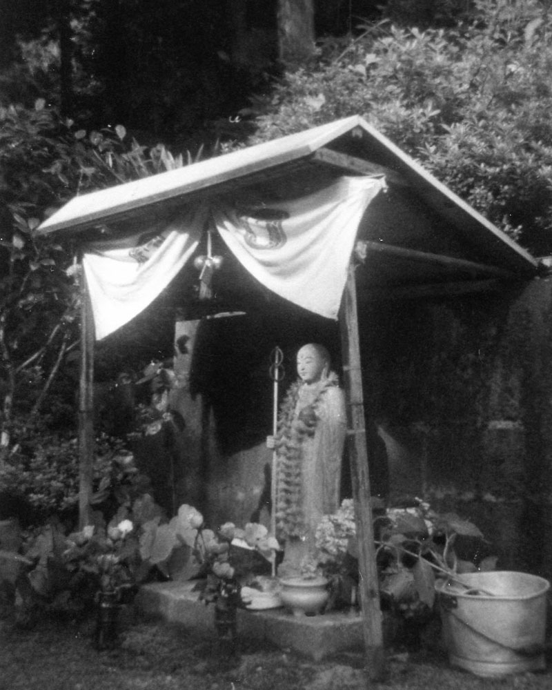
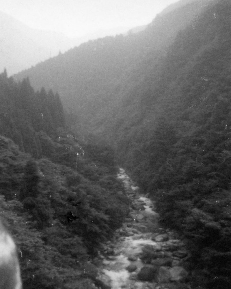
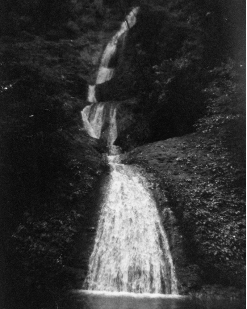
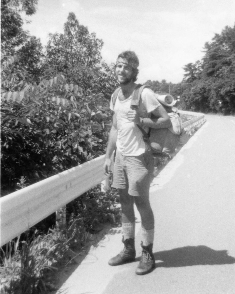
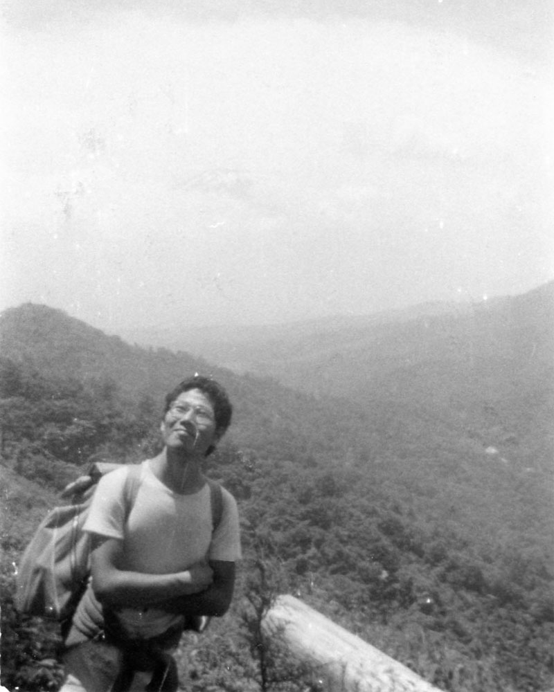
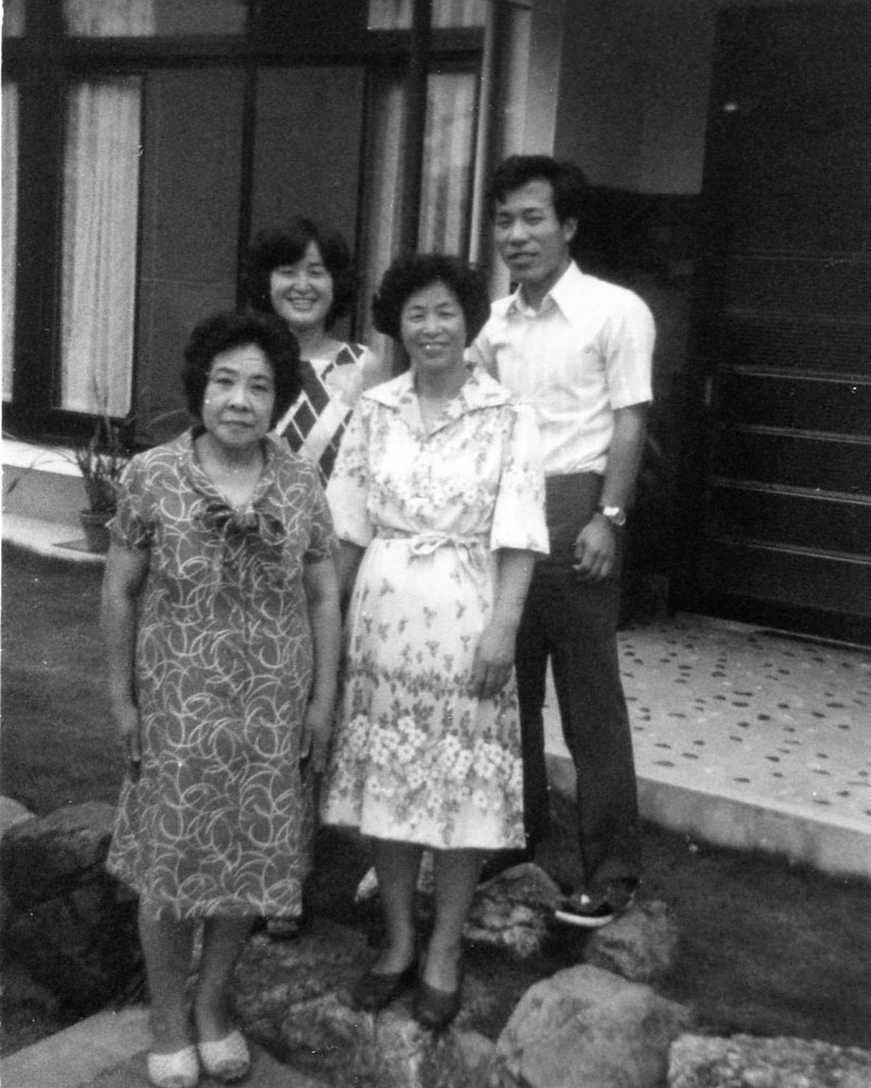
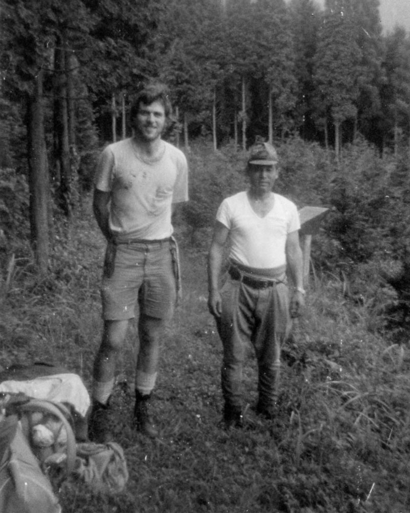
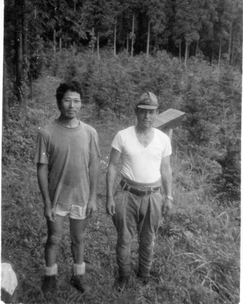
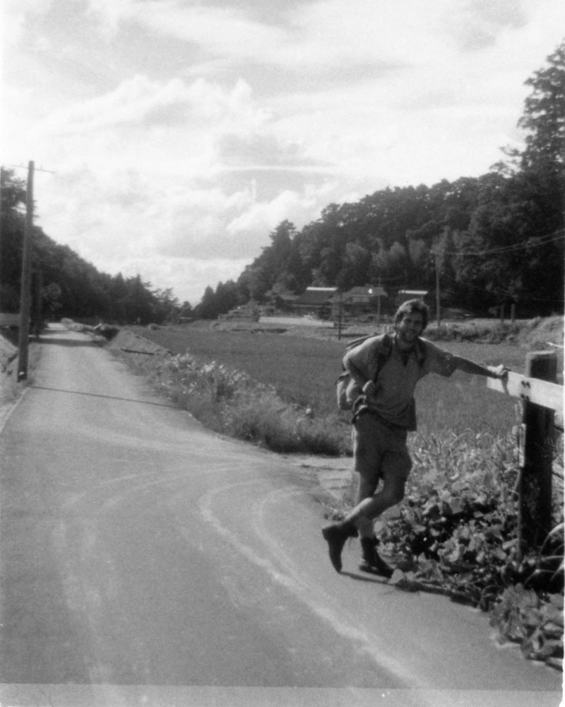
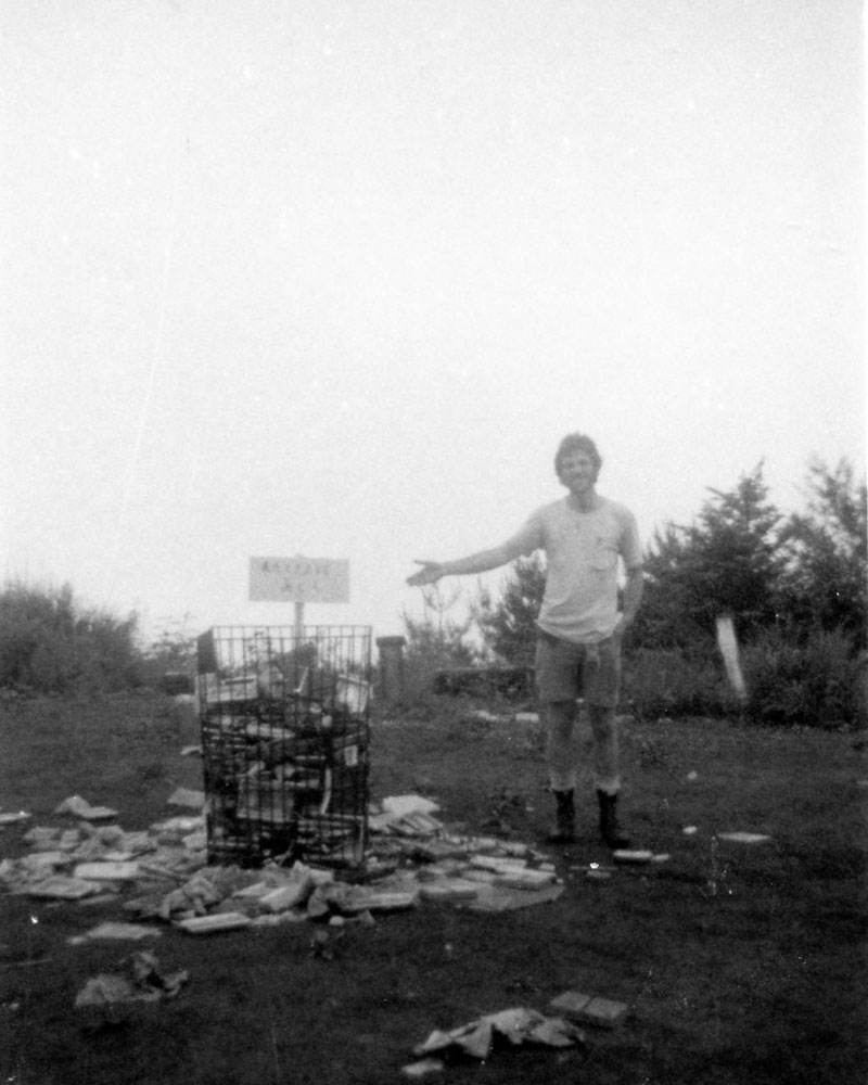
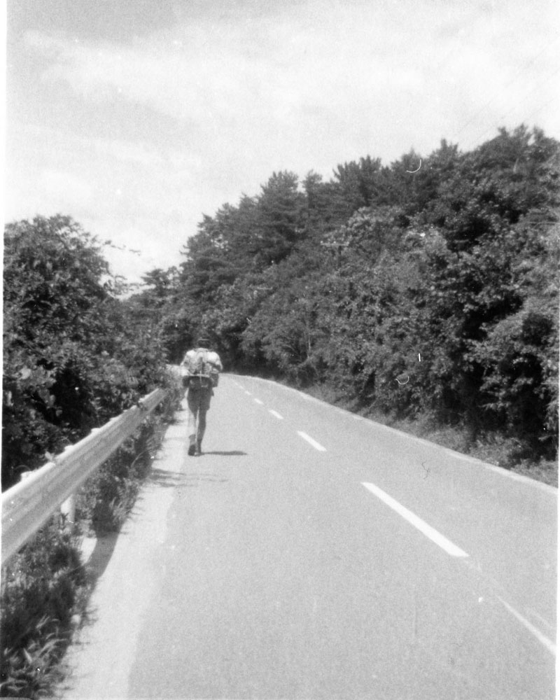
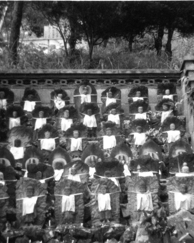
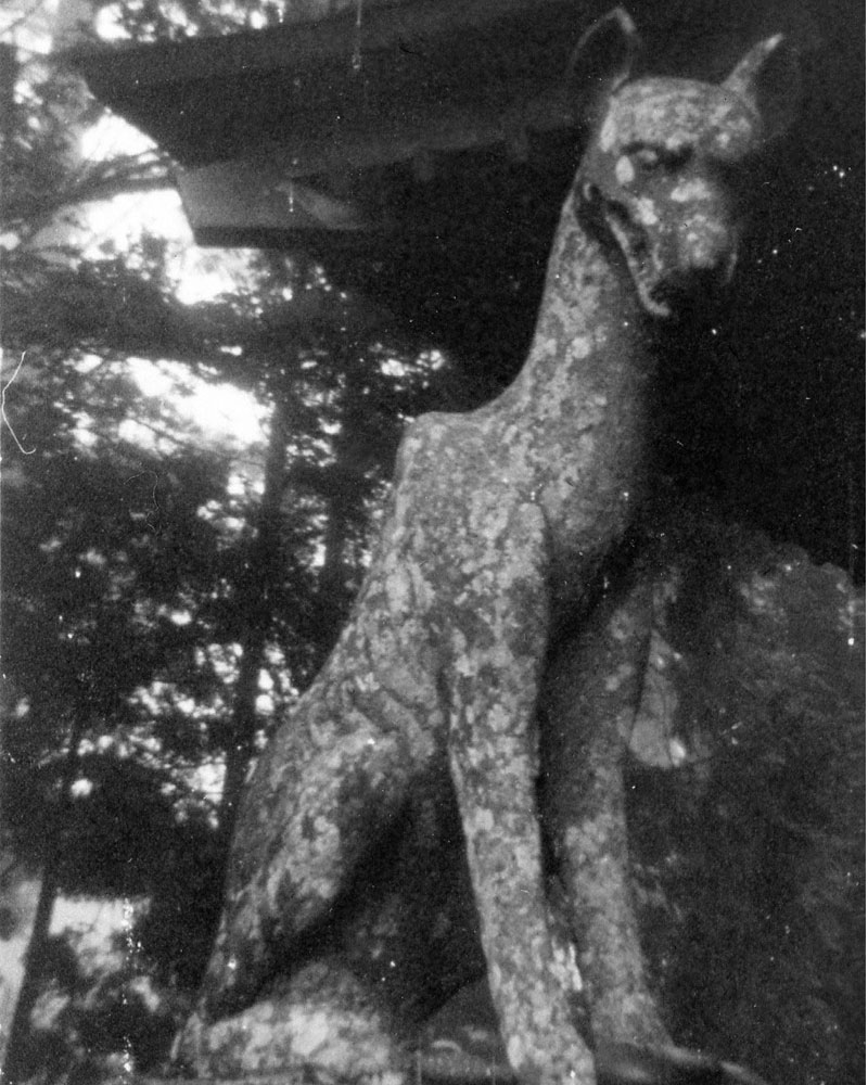
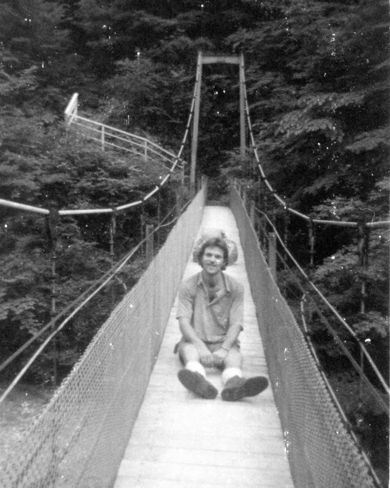
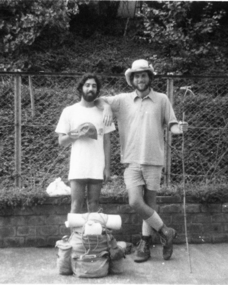
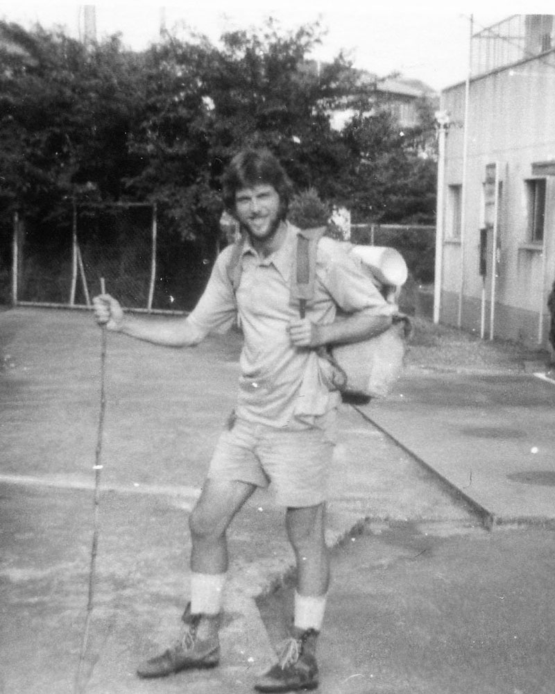
I n the summer of 1976, I walked from Tokyo to Kyoto, along what is called the Tokai Nature Trail (東海自然歩道). Many people think that this is the famous Tokaido highway, but it's not. The Tokaido highway has been around for centuries; once the main route between Tokyo and Kyoto, featured in iconic and romantic woodblock prints and stories, it is now a modern superhighway that links the two great megalopolises of Tokyo and Osaka (as well as Nagoya and Kyoto in between). The Tokai Nature Trail, on the other hand, is an amalgam of old mountain trails and roads, patched together by the government in the early 1970s.
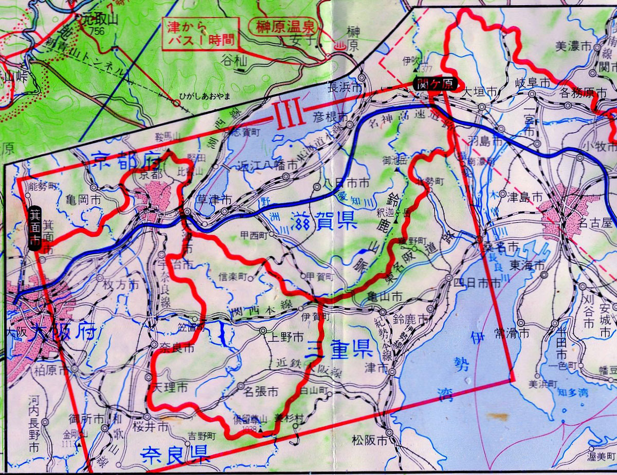
After Japan's rapid industrialization and economic growth in the immediate postwar period, with its attendant destruction of nature, a certain amount of reflection took place. Inspired in part by nature trails abroad, such as the Appalachian Trail in the United States, the Japanese government made an attempt to rekindle interest in nature, and to connect a variety of existing national and regional parks on the main island of Honshu. The result, the Tokai Nature Trail, thus travels more inland than the original Tokaido, and it links not only parks, but various scenic spots and mountainous areas. It runs from the Mt. Takao area in Hachijoji city, outside of Tokyo, all the way west to Kyoto, and then down to Osaka. The trail does not go in a straight line, but meanders here and there, and tends to climb mountains rather than avoid them. The highway distance from Tokyo to Osaka today is around 514 kilometers, or 320 miles. In 1974, the Tokai Nature Trail was said to be 1,350 kilometers (838 miles) in total length; today it is even longer, at 1,697 kilometers (1054 miles). As you can see from the maps, there are occasionally alternate routes provided.
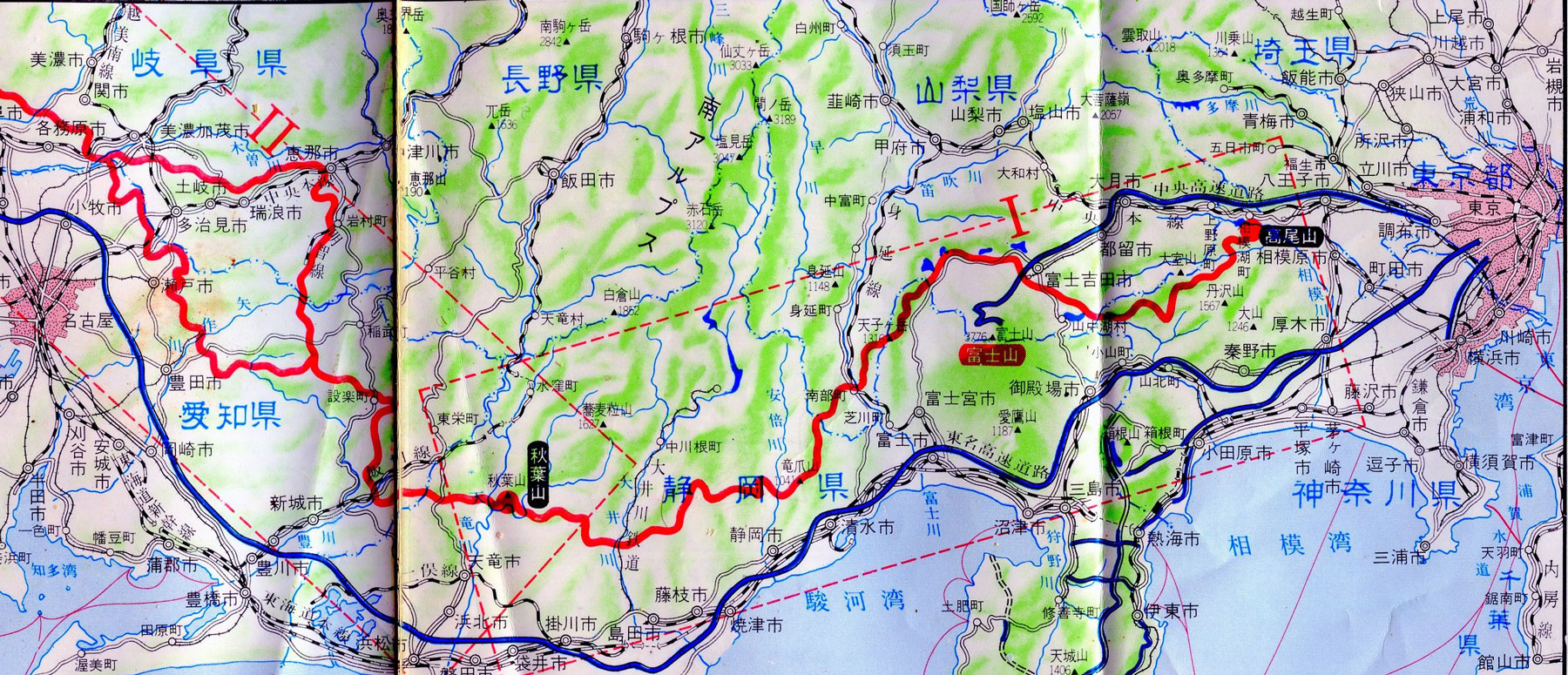
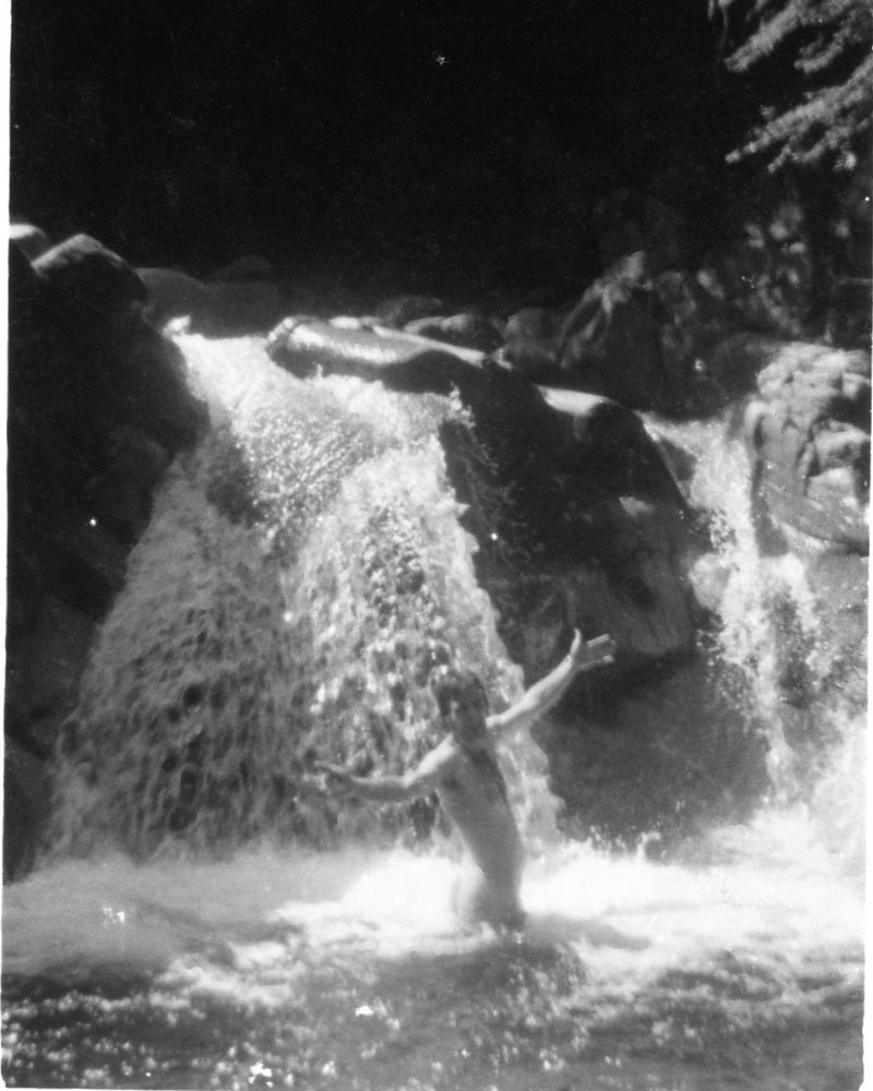
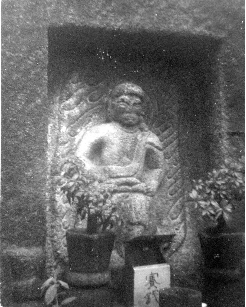
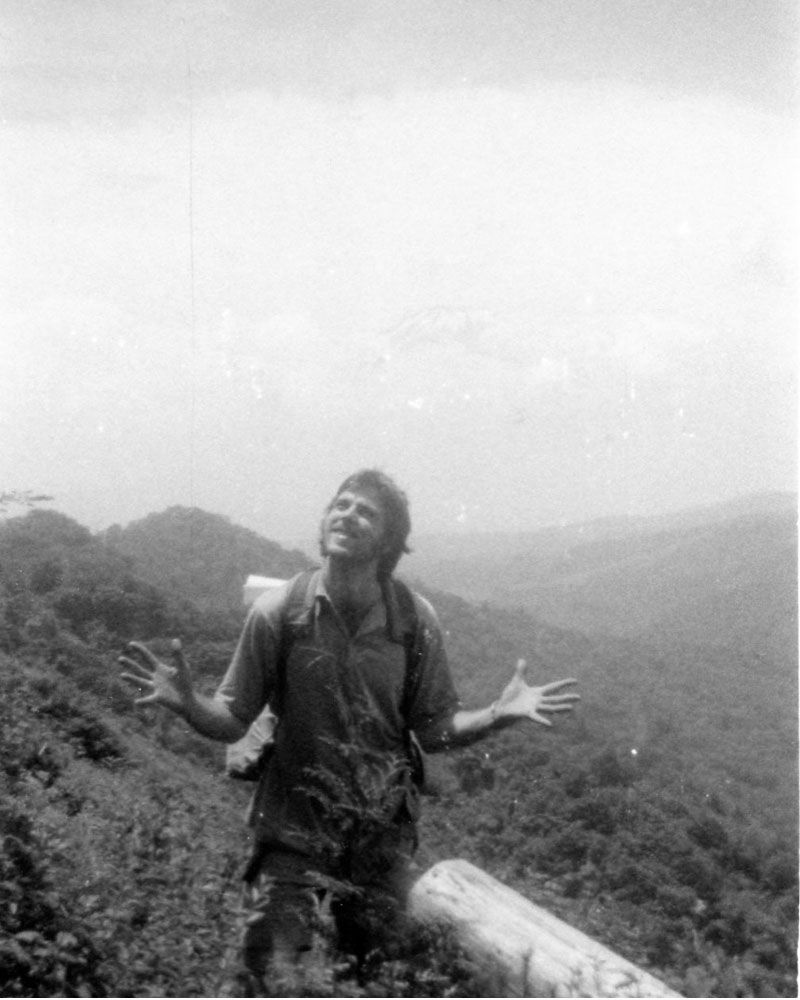
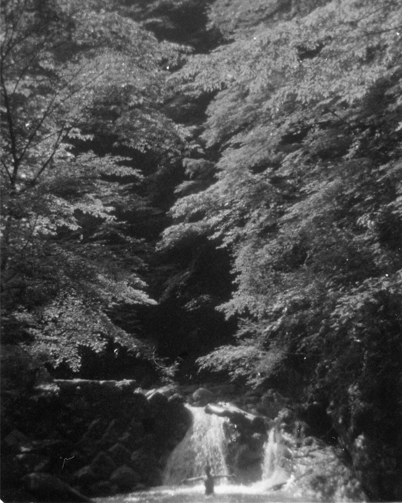
I walked from the start of the trail on Mt. Takao, to the old capital of Kyoto, and the trek was one of the highlights of my life. I'm not sure of the exact distance, but it was well over five hundred miles, through fields and forests and over mountains and through deep valleys. Sometimes the paths are linked with old forestry roads, sometimes they go by old temples and even villages that are now abandoned. The scenery is quite amazing, and the people I encountered were all extremely friendly. In many places, foreigners were quite a rare sight then, and they probably still are today. Few Japanese walk the entire route, and most of the trail is used for day hikes by people who want to get out of nearby cities. Many days, I saw no one. For most of the trip I slept in the open, without a tent, but sometimes I stayed in temples in the mountains, and at least once I was welcomed into the home of some local people. I walked for nearly two weeks with a friend of mine, an artist named Kiichiro Kobayashi (小林喜一郎), but his shoes wore out and he eventually had to go home. All-in-all, the trip was a little over a month long. It was in July and early August. Heat was always a problem, and there were heavy rain storms; in places there were a lot of mosquitoes, and even leeches. One night, I remember vividly, I slung a hammock between two trees, pitched a tarp above me, put a ring of katori senko mosquito coils on the ground beneath me, and woke up in the morning with mosquito bites and a headache from inhaling so much smoke. But despite the discomforts, there were occasional waterfalls and lakes to bathe in, and when the trail wound through little villages and crossed through populated areas it was always possible to get a cold drink out of the vending machines that seem to exist everywhere in Japan.
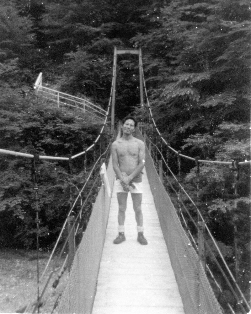
F or the last part of the trip, I established a fast rhythm of walking, and I made very good time. With winds roaring about me on mountain passes, and then fog and rain and sun passing overhead in the valleys, I started to feel as though I were in a trance and in synch with something much larger than myself. I felt as though I could have walked to the ends of the earth. In Kyoto, I stayed a few days with my old friend Mark Blum (shown in one of the photos). He was studying Buddhism then, and he is now a professor of Buddhism in UC Berkeley. I also met my old friend Daigaku Rumme, who happened to be in Kyoto, too. He was about to enter Hosshinji zen temple, on the other side of Japan, in Fukui Prefecture, where he would spend the next twenty-seven years.
I probably should have been more careful on my hike. Perhaps from drinking water out of streams, or eating something unknown, when returning to Tokyo on the Bullet train I came down with a roaring fever.
Here's a poem I wrote just before I arrived in Kyoto. Looking back, I rather like this poem:
Clouds, war clouds
grey horses bred strong
muscles flex and hooves ring clash
Clouds
that shriek raven shrieks
as they pour over high passes and
roar down valleys
Trees shudder as they pass
Insects cease their noise
Hide
Big clouds
like timpani drums
In the spring of 2015 I was contacted by Thomas Read, from Perth, Australia, who hiked from Tokyo to Osaka and maintained a wonderful and detailed blog about the Tokai Nature Trail. It's fascinating to compare his experience with mine. I wish I could have taken as many wonderful photos as he did, but in my time things were somewhat more primitive, and the camera I had was definitely a primitive one... It's interesting to see how much more developed many of the areas along the trail are now, but that is probably natural, as nearly forty years (!) have elapsed. Tom's blog is HERE. It's a highly recommended read.
In 2018, I was contacted by James and Amy, who hiked the trail even more recently, in the spring of that year. They have a delightful (and useful) blog devoted to their trip, and at 36 days for the whole course made very good time. It is clear that there is more pavement to walk on than in my day, but they still appear to have had a great trip. Their blog is HERE. From their blog I also see that there is another website in English with useful information from a 2009 hiker, Edward J. Taylor. It's nice to know that people are still hiking this amazing trail!
And, hot off the Internet, here is another good reference to the trail. In early 2019, I was contacted by Catlin Herrera, who has an English language website, with maps and a free book (in English!). Click HERE
.

